Basics
Senegal is a country slightly smaller than South Dakota, covering 196,722 km², or 76,000 square miles. The bordering countries in the south are Guinea and Guinea-Bissau, in the east; Mali, and in the north; Mauritania. The country of Gambia is actually inside Senegal, surrounded on three sides by the larger county, with one side touching the coast. The capital of Dakar is the westernmost part of the country, lying on the peninsula called Cap Vert. Other well-known cities are Diourbel, Kolda, Kaolack, Louga, Saint-Louis, Thies, Tambacounda, and Ziguinchor.
Land & Climate
In terms of topography, Senegal is a mostly flat country. There are forests in the southern areas and desert-like areas in the northern. Two rivers, the Senegal in the north and the Casamance in the south, are the two main waterways.
Beaches cover the coast of Senegal, which is about 310 miles along the Atlantic Ocean. The Casamance region, the southernmost part under Gambia, is covered in forests.
Beaches cover the coast of Senegal, which is about 310 miles along the Atlantic Ocean. The Casamance region, the southernmost part under Gambia, is covered in forests.
Wildlife (Animals)
Unfortunately, most of the wildlife has been destroyed by hunting, as well as simple land development for housing and other things of that nature. The majority of the remaining wildlife is in the south and the east. There are crocodiles, chimpanzees, elephants, antelope, and other animals.
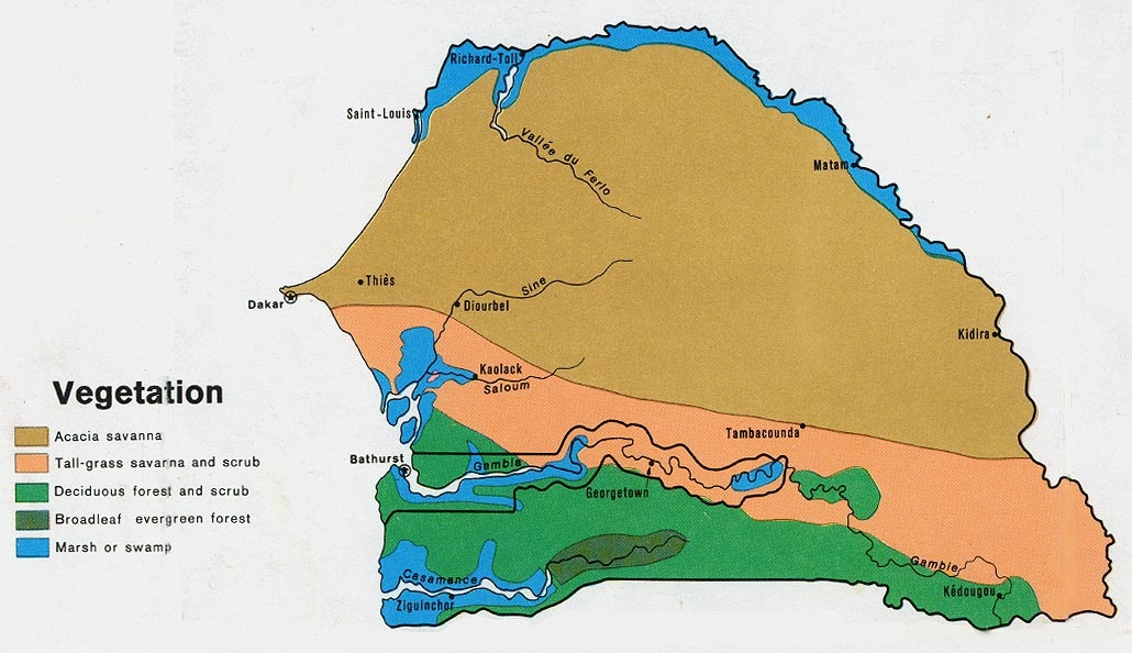
Vegetation
This map shows the basic vegetation of the different areas of the region, including Gambia. The different types of plant life clearly show the low-lying character of the country.
http://www.lib.utexas.edu/maps/africa/senegal_gambia_veg_1972.jpg
